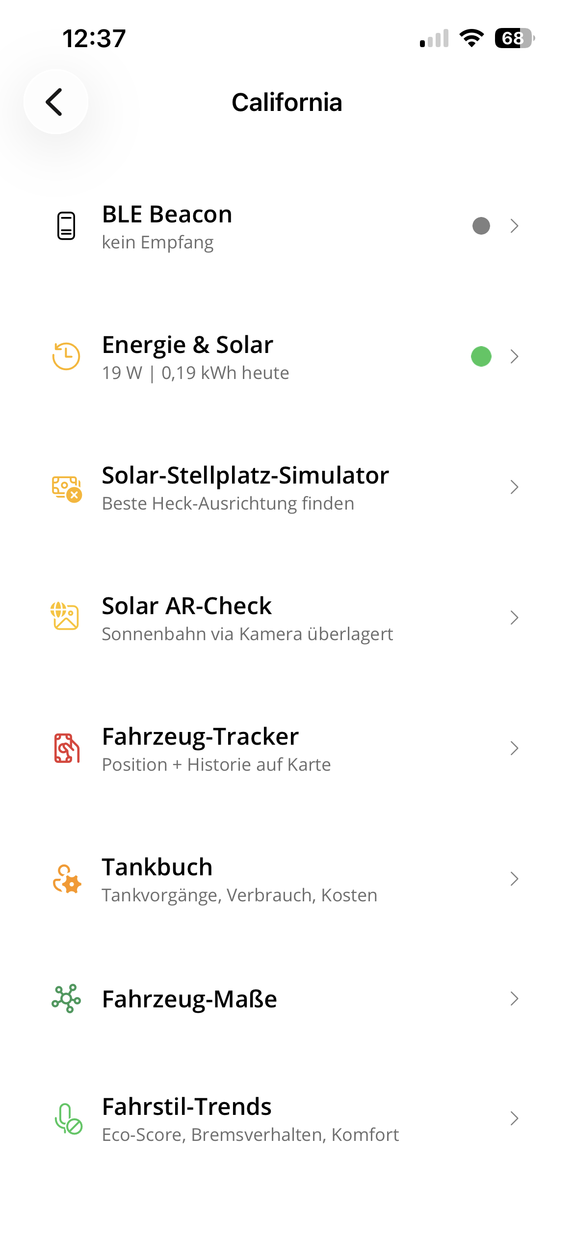
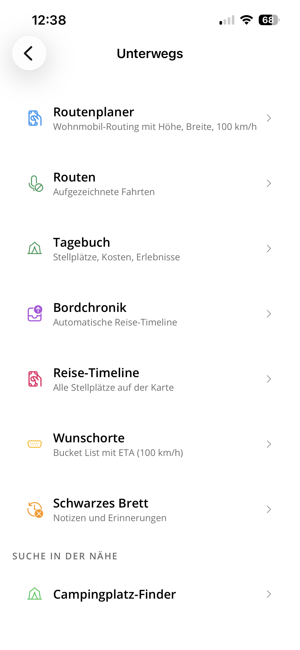
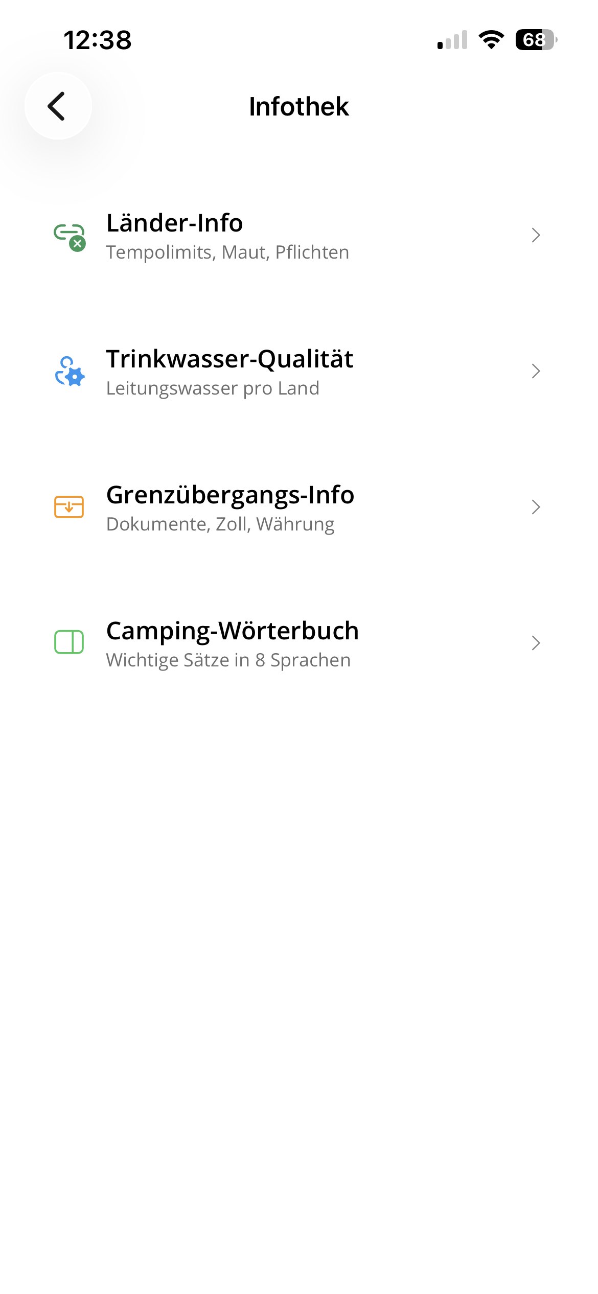
Under the hood

Tech Inside

Two connected vehicles, one private server and a German-only app. The system records the road, understands the journey and keeps the memories without turning our family travel data into someone else's cloud product.

← Back to the travel journal

Overview

A private travel platform

On-board clients collect data locally, the gateway keeps the vehicles reachable from mobile networks, and the server at home processes routes, weather, energy, maps, app data and operational status. It is less a dashboard and more a private operating system for travelling.

Vehicles

GPS, sensors, energy, alarm and connectivity data are captured in the California and Weinsberg.

Buffer

Clients keep working offline and upload compressed data when a connection is available.

Gateway

A small public edge system forwards authenticated traffic without exposing the home server directly.

Server

Workflows validate, enrich and analyze incoming data on self-hosted infrastructure.

App

The German-only app and this website show the parts that are useful or safe to publish.

What makes it different

Built for our real journeys

The system exists because normal travel apps, vehicle apps and cloud dashboards each solve only a small piece. This one connects the whole trip: movement, places, vehicle state, energy, weather, memories and privacy.

One family system

California, Weinsberg, app, website and server share one model of the journey instead of scattering the trip across separate tools.

Works with bad networks

The vehicles keep recording when coverage disappears. Data is buffered locally and synchronized later, so remote roads and campsites are not gaps in the story.

Private by design

Live location stays private, public publishing is deliberate, and the core map, route and data stack is operated under our own control.

On-board systems

Rolling IoT platforms

Both vehicles run their own clients. They are designed for unstable networks, long trips, campground WiFi and days where nothing should require manual maintenance.

GPS and motion

High-frequency GPS and IMU data capture position, speed, heading, vibration and driving comfort. This is the raw material for route playback and later analysis.

Energy and environment

Solar yield, battery state, temperature, humidity and device health are stored continuously, so energy balance and indoor climate are visible over time.

Safety and alarm

Doors, windows, roof hatches and alarm events are monitored. Important state changes can trigger push messages to the family devices.

Connectivity

5G, vehicle WiFi and Starlink are treated as available uplinks. The system syncs in the background and continues buffering when the road has no signal.

Vehicle status

The California status is checked remotely: fuel level, mileage, maintenance state, lock state and other useful values are available without opening the manufacturer app.

Remote maintenance

On-board clients are monitored and can be updated remotely. CPU, memory, storage, temperature and network state help detect problems early.

Processing

From raw uploads to travel data

The server turns compressed sensor uploads into structured journeys. The important part is not one single feature, but the full pipeline: import, cleanup, enrichment, analysis and publishing rules.

Workflow engine

Uploads run through repeatable workflows with retries, timeouts and manual reprocessing. Different vehicles can use different processing steps.

Route building

GPS points are checked, cleaned, matched to roads and enriched with readable locations, road context and weather conditions.

Local driving AI

Completed routes are scored for eco driving, braking, cornering, speed behavior, comfort, road quality and anomalies. A local AI evaluates the drive and turns sensor data into readable trip reports.

Automatic diary

Stay points, overnight places, campsites and relevant events can become diary or chronicle entries without manually reconstructing a trip afterwards.

Energy history

Live solar and battery data is available immediately, while historic values are aggregated for trends, daily yield and battery health.

Operational overview

The private dashboard shows workflow state, upload history, sensor freshness, service health, system logs and connected devices.

Maps and location

Self-hosted map stack

Maps are part of the system, not an embedded black box. Routing, geocoding, search and map tiles are operated privately where possible.

Routing

Routes can be matched and planned with an open routing engine, including road classes and useful driving context.

Geocoding and search

Place search, reverse geocoding and POI discovery support the app's route planning, campsite finder, repair finder and travel tools.

Own map imagery

The infrastructure also serves its own map tiles and self-hosted satellite imagery, so the app is not tied to a commercial map frontend.

Camping intelligence

Useful context on the road

Some features are less about telemetry and more about decisions: where to stand, what the weather means for the setup, and what needs attention before we leave.

CampGPT

A local AI assistant can create briefings from weather, location, vehicle setup and recent data. It is built for practical camping decisions, not generic chat.

Microclimate

Standplatz analysis combines weather, nearby trees, buildings, water, wind and sun exposure into comfort hints and risk notes.

Tides and environment

For coastal stops the system can calculate tide curves and current water height, while weather and environment data stay linked to the journey.

Signals from the road

Thousands of small facts become one trip

Position, motion, weather, energy, doors, windows, solar, battery, connectivity, alarms, campsites and diary entries flow into the same private system. The value is not one sensor. The value is the story they form together.

The app

One German-only control surface

The native app for iOS, Android and macOS is the daily interface for all this data. It is currently German-only because it is built for our own use first.

Travel tools

Routes, route playback, travel diary, chronicle, wish places, campsites, disposal points, country rules and emergency information live in one place.

Vehicle tools

Solar, battery health, fuel log, tire pressure, dimensions, leveling, alarm, door and window status, indoor climate and damage logs are part of the same app.

California overview in the German-only app Travel tools in the German-only app Travel information in the German-only app

Privacy and publishing

Private by default

The system was built because existing products could not cover the workflow without giving up too much control over the data.

No live public location

Live position is not published here. Public travel statistics are only shown when they are safe to show, and the travel journal is still being rebuilt.

Self-hosted core

The core stack runs on our own infrastructure: database, time-series data, cache, logs, workflows, maps, routing, geocoding and push delivery.

The website shows a curated public view. The private system contains much more operational detail, but the public pages intentionally avoid live tracking, internal addresses and sensitive infrastructure details.